> 1/1
~ ~ ~
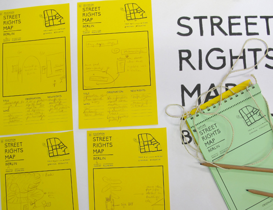
Mapping
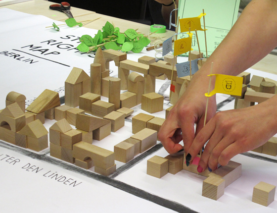
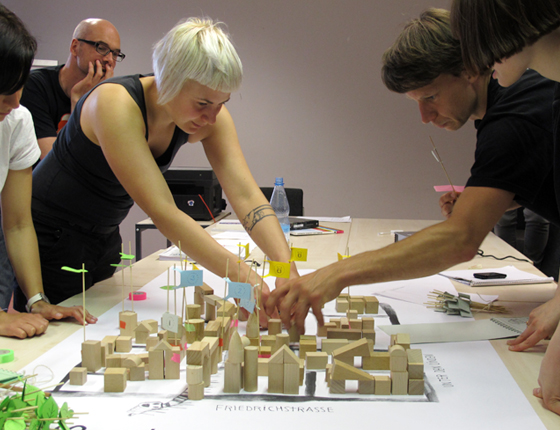
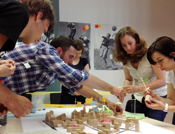
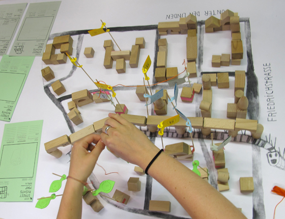
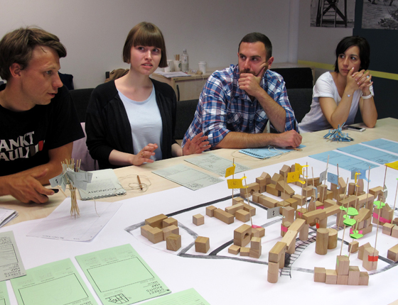
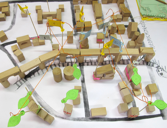
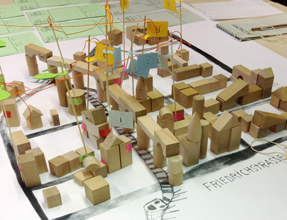
Observations of each team were mapped to a scale model of the area and then discussed. If there were relationships between them, the flags were connected with threads.
High flags = public use, low flags = private use.
Examples for findings and change of rights:
Street signs should be an open system for anyone to change, rename and giving directions.
Renaming of the street "Mohrenstraße" which refers to slave trade. Naming streets after these individuals and adding information about the history of slave trade.
Old books from the library should become publicly available in a street library.
Rights for compensation from construction companies who affect the micro climate negatively in the streets through new buildings.
Right to use the empty parking lot for housing, skating, playing ping pong, as swimming pool. . . Especially while remaining empty during weekends.
Right to space in nice areas: public parks and squares are shrinking with new buildings for "urban living". Rights to use their roof tops publicly for sports, relaxing and gardening.
Priority to rowing boats and e-boats instead of motor boats on the river.
Space for wild and edible plants = "productive street"
Mapping system for bicyclists to report dangerous spots and situations in the street, giving them priority over cars. Tram tracks become a flat surface for safe biking and only open when needed.
Posting students' writings in the library window with pedestrians to share learnings publicly.