> 1/1
~ ~ ~
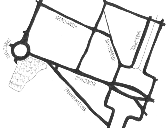
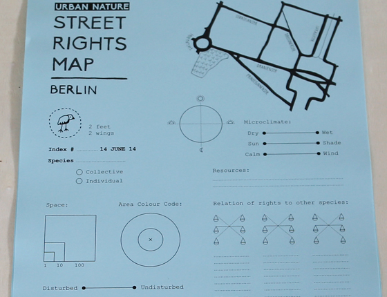
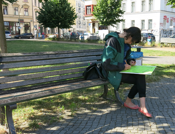
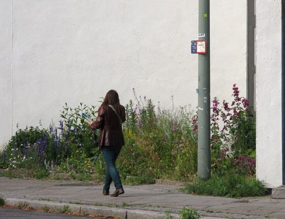
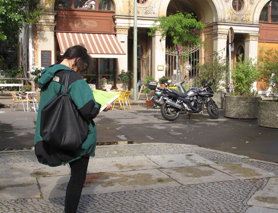
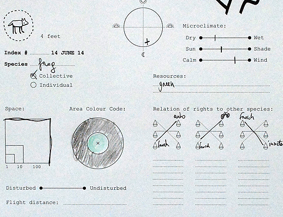
Mapping
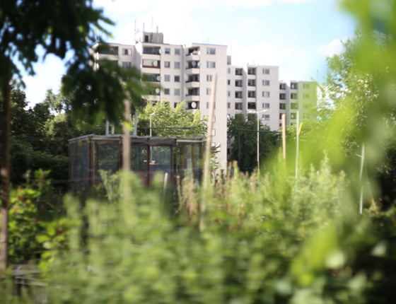
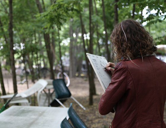
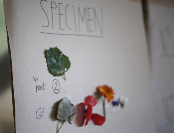
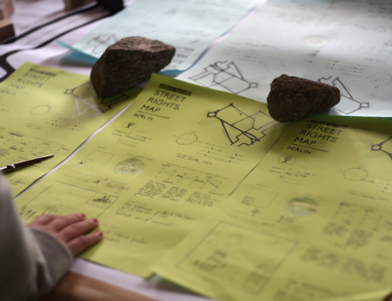
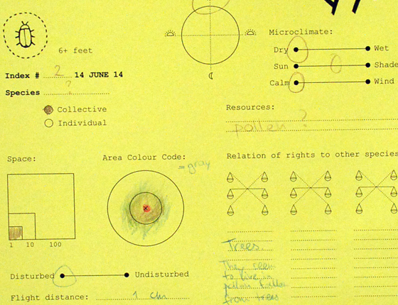
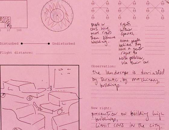
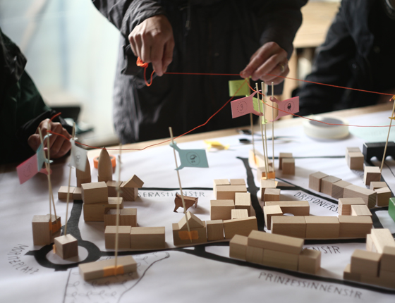
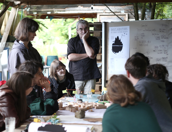
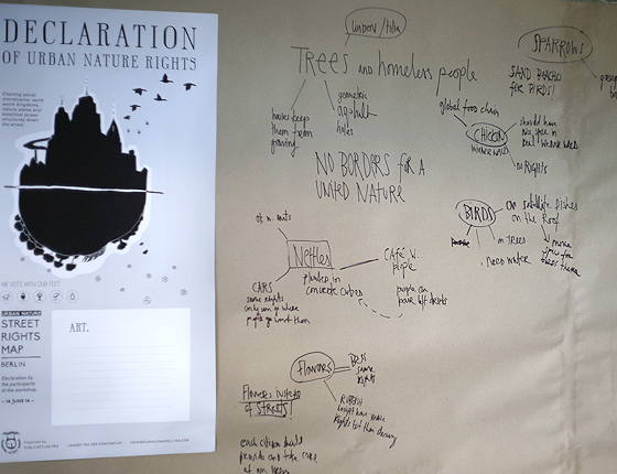
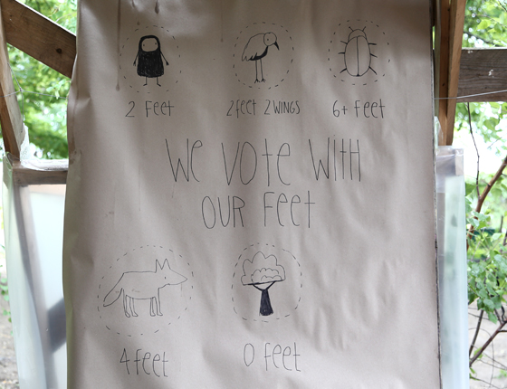
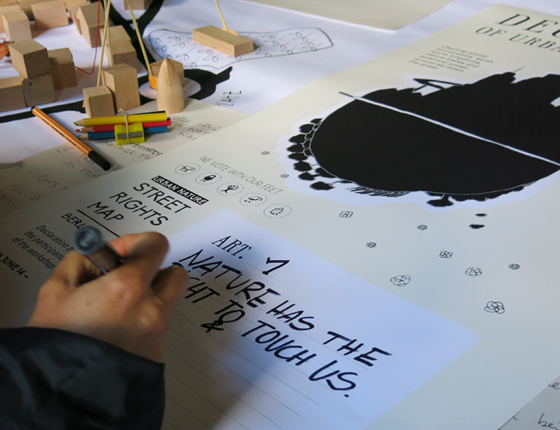
The area we observed consists of residential neighbourhoods and business streets, mixed with green spaces and urban gardening plots. We charted information about micro climates, colour area codes, distribution of resources and social relationships. Biologist Herbert Lohner also shared his rich knowledge with us about nature and biodiversity in the city. Observations of each team were mapped to a scale model of the area and then discussed. If there were relationships between them, the flags were connected. After this process, five articles were formulated for the Declaration of Urban Nature Rights.